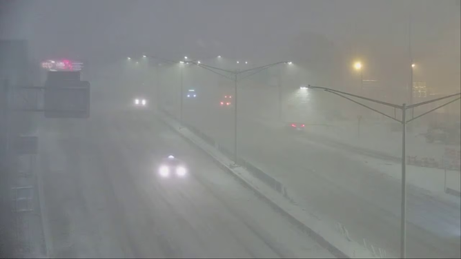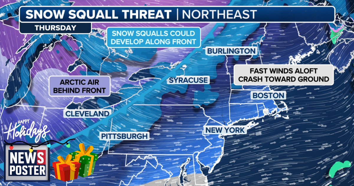
BUFFALO, NEW YORK – A powerful arctic blast is sweeping across the U.S., bringing the risk of dangerous snow squalls and whiteout conditions that could severely impact travel. Early Thursday, the cold front began moving into the Northeast, with fast-moving bursts of snow expected to create hazardous driving conditions.
The front stretches across the Great Lakes and into the Plains, trailing a strong high-pressure system that will quickly push into the central U.S. As it moves east, the front carries an arctic air mass with some of the season’s coldest temperatures. Combined with moisture in the atmosphere, this sets the stage for snow showers and squalls. Winds are expected to pick up sharply, and temperatures will plummet as the front progresses.
Snow squall threats will peak Thursday morning and afternoon, especially along major interstates including I-90, I-81, and I-80. Areas around the Great Lakes and the Northeast could see several inches of snow, with whiteout conditions making travel treacherous. Strong west and northwest winds over Lake Erie and Lake Ontario will increase the risk of lake-effect snow. Winter Weather Advisories are in effect for parts of Western New York, including Buffalo, Watertown, and Syracuse, where 3-5 inches of snow is expected.