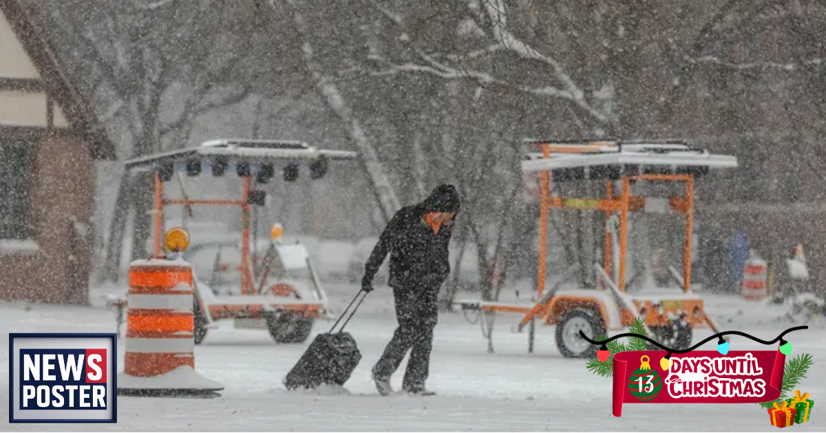
Winter has started with a bang, as much of the country has faced record-breaking cold and heavy snowfall from an arctic blast and consecutive snowstorms affecting millions of Americans. Many had hoped these conditions would set the stage for a snowy Christmas.
However, longer-range forecasts suggest a shift just in time for the holidays. Temperature outlooks from the Climate Prediction Center indicate that most of the Lower 48 states will experience above-average warmth through the end of December.
Currently, the West is seeing unseasonably warm temperatures due to a large high-pressure ridge. As this system moves eastward next week, warmer conditions are expected to spread to the Midwest and Northeast. Areas now covered in heavy snow may see melting heading into Christmas week, leaving only patchy coverage from Iowa through Pennsylvania.
This means a White Christmas is likely limited to higher-elevation regions, including the Rockies, northern Minnesota, Wisconsin, Michigan, and parts of New England. A White Christmas is defined as having at least one inch of snow on the ground by 7 a.m. on December 25.
Many major Northeast cities, including New York City, Philadelphia, and Washington, D.C., have not had a White Christmas since 2009, and current forecasts suggest 2025 will not bring one for these areas either.