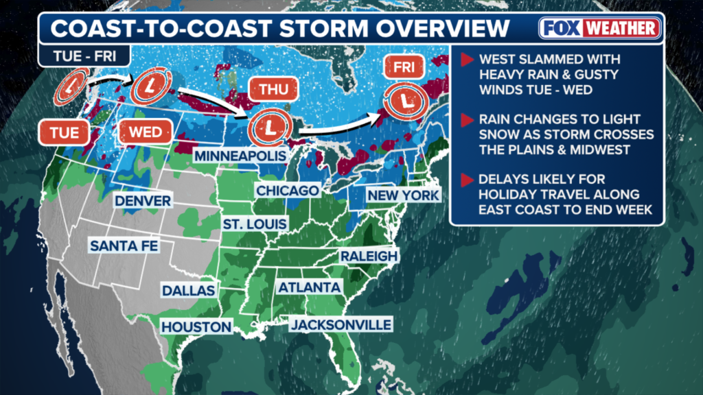
A major coast-to-coast storm is underway, expected to bring hurricane-force wind gusts and impact more than 30 states as the country experiences an active start to meteorological winter. The system is moving out of the Pacific Northwest, where heavy rains have worsened last week’s historic flooding in Washington, and will push into the Northern Plains and Rockies starting Wednesday, producing wind gusts of 50-70 mph. As the storm moves eastward, it will bring a mix of rain and snow through the end of the workweek, potentially causing travel disruptions.
Wednesday: High winds batter Northern Plains and Rockies
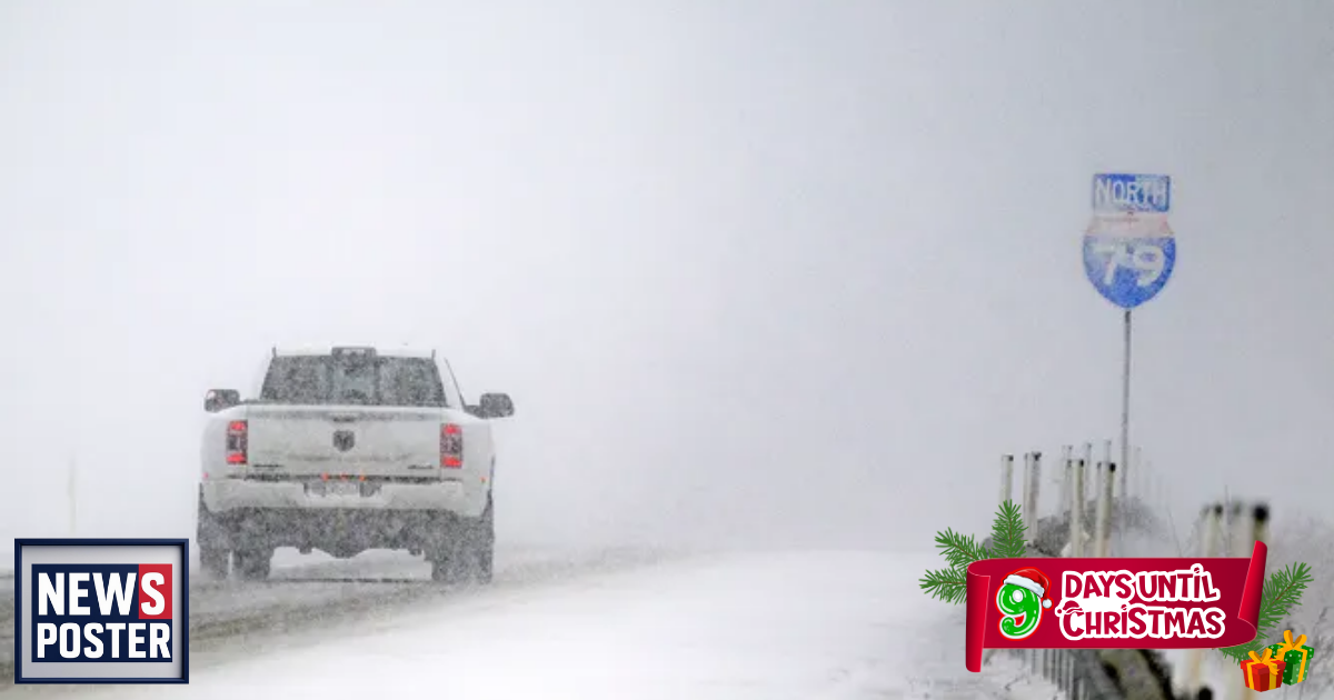
The storm’s low-pressure system is forecast to rapidly intensify on Wednesday, with wind gusts of 50-70 mph across Montana, parts of Idaho, Wyoming, and the Dakotas. Isolated gusts could reach 80-90 mph. High Wind Warnings and Wind Advisories have been issued across Montana. Cold temperatures combined with strong winds could lead to periods of whiteout driving conditions. The system is expected to exit the Northwest by Wednesday night.
Thursday: Whiteout driving conditions in the Upper Midwest, rain spreads south
By Thursday, the low-pressure system will track along the U.S.-Canada border, while a fast-moving cold front pushes south. Winds above 50 mph and snow will continue to affect drivers and air travelers across the Dakotas, Minnesota, and Iowa. Morning rain is expected to transition to snow in the Dakotas, Minnesota, and Michigan, creating whiteout conditions through Thursday night. Farther south, rain will spread across the Midwest, Mississippi River Valley, and parts of the South, potentially melting snow from last week’s winter storms and causing travel delays in areas including southern Missouri, Arkansas, and the Tennessee Valley.
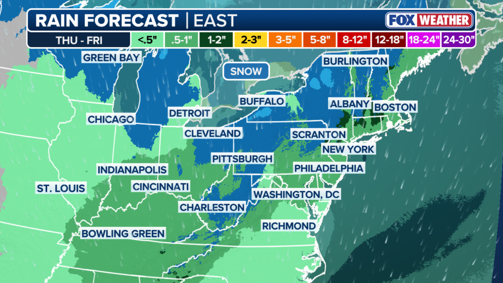
Friday: Lake-effect snow and East Coast rain
The storm’s final phase will reach the East Coast late Thursday night into Friday. The main low-pressure system will remain in Canada, keeping the coldest air and snow in northern regions, though lake-effect snow is expected near Lakes Erie and Ontario and the interior Northeast. Heavy rain along the East Coast could cause travel disruptions at major airports and isolated flash flooding in northern New England, particularly northern Vermont, New Hampshire, and Maine, where a Level 1 flash flood risk has been issued. Meanwhile, warm air in the Southeast could spark severe thunderstorms over Kentucky and Tennessee on Friday morning.
This storm aligns with long-range forecasts predicting an active start to winter, influenced in part by the La Niña climate pattern.