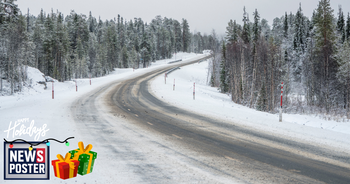
A powerful winter storm is blanketing much of the mid-Atlantic and Northeast with snow, marking the first significant accumulation of the season for many areas. Nearly all of Virginia woke up to snow Friday morning, including major cities like Richmond and Washington, D.C., where residents saw their first flakes of the season. In D.C., flurries are expected to accumulate up to an inch before the system moves out Friday afternoon, while Richmond could see between 1 and 3 inches.
Farther north, Portland, Maine, recorded a daily low of 3 degrees, setting a new cold temperature mark for the day, and temperatures could fall even further. Chicago dropped to 10 degrees, its coldest reading since February, though it is expected to gradually warm as frigid Arctic air shifts east. Wind chills are making conditions feel even colder across the Midwest and Northeast, with Buffalo and Boston both below zero and New York City experiencing wind chills in the teens. Minneapolis is forecast to see daily wind chills plunge below zero, with highs barely rising above freezing through the weekend. Another wave of Arctic air next week is expected to keep temperatures well below zero across much of the region.
Meanwhile, the Rockies are experiencing heavy snowfall from Idaho to Colorado, with higher elevations receiving over a foot of snow and some areas exceeding 2 feet between Friday and Sunday. A fast-moving storm is also expected to affect the Dakotas and Nebraska, bringing light snow that could increase to 3 to 7 inches as the system reaches Iowa Friday afternoon.

