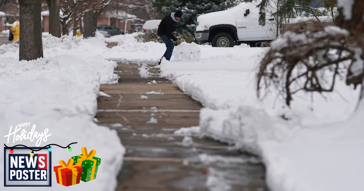
A winter storm delivered the first major wave of snow and ice to parts of the Midwest and South on Monday and continues its eastward push, bringing dangerous ice to portions of Appalachia and heavy snowfall to the inland Northeast on Tuesday.
Snow totals on Monday reached between 3 and 5 inches in the Kansas City area, while Louisville picked up around 3 inches. St. Louis and Indianapolis each saw roughly 2 to 4 inches of accumulation. In Indianapolis alone, police reported more than 150 crashes since snow began falling Sunday, urging drivers to slow down and use extreme caution.
Icy conditions created hazardous travel across parts of Oklahoma and Arkansas on Monday, and that same glaze of ice is expected to threaten areas such as Boone, North Carolina, and Roanoke, Virginia, on Tuesday. Meanwhile, Ohio, West Virginia, Pennsylvania, and western New York could receive 2 to 4 inches of snow. Winter weather advisories remain in effect for northern Pennsylvania and central New York, where snowfall totals of 4 to 6 inches are possible.
In New Jersey, a state of emergency was declared for several counties as snow and rain moved through the region. Officials warned residents to be alert for icy roadways and walkways. Numerous school districts across eastern Pennsylvania also closed for the day due to the conditions.
Along the immediate East Coast, temperatures are expected to remain warm enough for mainly rain, though a brief period of wintry mix could affect the Washington, D.C., area during the morning commute. A winter storm warning stretches from northeastern Pennsylvania to central Maine, where snowfall totals are forecast to exceed 6 inches, with isolated areas potentially seeing 9 to 12 inches. By Tuesday night, rain is expected to taper off in New York City, remain steady in Boston, and continue as snow from the Albany region north through Maine.

