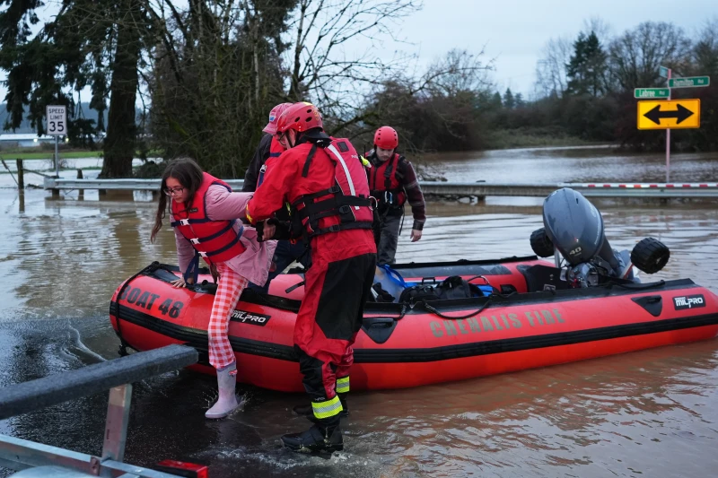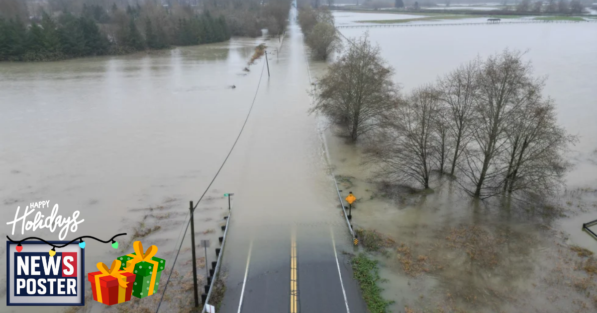
A combination of unusually warm ocean and air temperatures, along with weather patterns tracing back to tropical cyclone flooding in Indonesia, has intensified persistent atmospheric rivers dumping heavy rain on Washington state. Meteorologists report that nearly 5 trillion gallons (19 trillion liters) of rain have fallen in the past week, raising concerns about record flooding. The heaviest rainfall is expected to continue over the same areas through late Thursday and early Friday, with relief not likely until the week of Christmas.
Atmospheric rivers—long, narrow bands of moisture traveling from the tropics to northern latitudes—are common along the West Coast, but this series of storms is unusually large and persistent. Forecasts warn of record flooding along the Skagit River in northern Washington. Some areas, including Mount Rainier, have received 21 inches (53 centimeters) of rain since last Thursday. Warm Pacific waters north of Hawaii have fueled the storms, producing rain instead of snow and sustaining the continuous flow of moisture. Experts note that the chain of events began with flooding in Indonesia and was amplified by atmospheric oscillations, high-pressure ridges off California, and unusual temperature patterns across Russia and Alaska. Climate research indicates that human-driven warming is making atmospheric river storms larger, wetter, and more frequent, contributing to the extreme conditions seen in the Pacific Northwest.